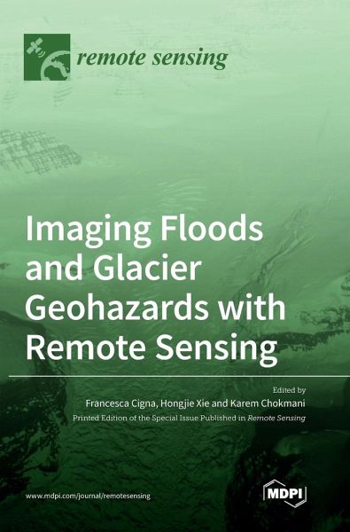
Imaging Floods and Glacier Geohazards with Remote Sensing
Versandkostenfrei!
Versandfertig in 1-2 Wochen
88,99 €
inkl. MwSt.

PAYBACK Punkte
44 °P sammeln!
Remote sensing plays a pivotal role in understanding where and how floods and glacier geohazards occur; their severity, causes and types; and the risk that they may pose to populations, activities and properties. By providing a spectrum of imaging capabilities, resolutions and temporal and spatial coverage, remote sensing data acquired from satellite, aerial and ground-based platforms provide key geo-information to characterize and model these processes. This book includes research papers on novel technologies (e.g., sensors, platforms), data (e.g., multi-spectral, radar, laser scanning, GPS, ...
Remote sensing plays a pivotal role in understanding where and how floods and glacier geohazards occur; their severity, causes and types; and the risk that they may pose to populations, activities and properties. By providing a spectrum of imaging capabilities, resolutions and temporal and spatial coverage, remote sensing data acquired from satellite, aerial and ground-based platforms provide key geo-information to characterize and model these processes. This book includes research papers on novel technologies (e.g., sensors, platforms), data (e.g., multi-spectral, radar, laser scanning, GPS, gravity) and analysis methods (e.g., change detection, offset tracking, structure from motion, 3D modeling, radar interferometry, automated classification, machine learning, spectral indices, probabilistic approaches) for flood and glacier imaging. Through target applications and case studies distributed globally, these articles contribute to the discussion on the current potential and limitations of remote sensing in this specialist research field, as well as the identification of trends and future perspectives.


