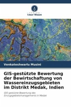
GIS-Based Evaluation of Watershed Management in Medak District, India
GIS-Based Evaluation of Watershed Management in Medak
Herausgegeben: Yanala, Srinivasa Reddy
Versandkostenfrei!
Versandfertig in 6-10 Tagen
27,99 €
inkl. MwSt.

PAYBACK Punkte
14 °P sammeln!
Remote sensing is an art falling on the map of science, lying in image or an object sensing. This art can be attained through GIS mapping to a solution consists of predefined scale, generation of intelligence electrical network maps and super imposing them on the land base GIS maps. Land use is influenced by economic, cultural, political, and historical and land - tenure factors at multiple scales. It is referred to as man's activities and the various uses which are carried on land. Land cover is referred to as natural vegetation, water bodies, rock/soil, artificial cover and others resulting ...
Remote sensing is an art falling on the map of science, lying in image or an object sensing. This art can be attained through GIS mapping to a solution consists of predefined scale, generation of intelligence electrical network maps and super imposing them on the land base GIS maps. Land use is influenced by economic, cultural, political, and historical and land - tenure factors at multiple scales. It is referred to as man's activities and the various uses which are carried on land. Land cover is referred to as natural vegetation, water bodies, rock/soil, artificial cover and others resulting due to land transformation Change detection is a difference in image prepared by digitally comparing images acquired at different time line .The grey tones are colors of each pixel record the amount of difference between the corresponding pixels. It helps in understanding the application of GIS model in identification of various land forms and other resources for effective utilization. This book entitled "A Case Study using GIS-Based Evaluation of Watershed Management Medak District, Telangana State, India" deals with the use of remote sensing in evaluating Watershed Management.


