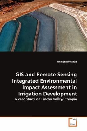
GIS and Remote Sensing Integrated Environmental Impact Assessment in Irrigation Development
A case study on Fincha Valley/Ethiopia
Versandkostenfrei!
Versandfertig in 6-10 Tagen
45,99 €
inkl. MwSt.

PAYBACK Punkte
23 °P sammeln!
This book mainly focuses on the environmental repercussion of irrigation development. To better show the impacts of the irrigation project five environmental components are selected and appropriate techniques used to quantify the outputs. The study makes use of Remote sensing tools and techniques to objectively quantify the vegetation changes that have been taking place and show the negative consequences. The research involves field survey of soil and water samples and laboratory assessment in the irrigated and non irrigated lands. On the other hand some of the social and economic variables ar...
This book mainly focuses on the environmental
repercussion of irrigation development. To better
show the impacts of the irrigation project five
environmental components are selected and
appropriate techniques used to quantify the outputs.
The study makes use of Remote sensing tools and
techniques to objectively quantify the vegetation
changes that have been taking place and show the
negative consequences. The research involves field
survey of soil and water samples and laboratory
assessment in the irrigated and non irrigated lands.
On the other hand some of the social and economic
variables are compared using the existing statistics
and interview.
It is found out that despite the many advantages of
the irrigation project it has many negative impacts
and implications on the environment. This in turn
puts the sustainable of the project in question.
Many of the examined threats are due to
mismanagement of the resources rather than the
existence of the project by itself.
There are many recommendations forwarded to many
stockholders to mitigate the negative impacts on the
environment.


