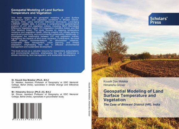
Geospatial Modeling of Land Surface Temperature and Vegetation
The Case of Bhiwani District (HR), India
Versandkostenfrei!
Versandfertig in 6-10 Tagen
43,99 €
inkl. MwSt.

PAYBACK Punkte
22 °P sammeln!
This book explores the geospatial modeling of Land Surface Temperature (LST) and vegetation conditions in Bhiwani District, Haryana, India, using advanced GIScience techniques. Leveraging LANDSAT satellite data, it provides a comprehensive spatiotemporal analysis of LST and vegetation indices, including NDVI (Normalized Difference Vegetation Index), VCI (Vegetation Condition Index), and SMI (Soil Moisture Index). The study focuses on mapping temperature variations and vegetation health, offering insights into climate patterns, agricultural productivity, and environmental sustainability. Additi...
This book explores the geospatial modeling of Land Surface Temperature (LST) and vegetation conditions in Bhiwani District, Haryana, India, using advanced GIScience techniques. Leveraging LANDSAT satellite data, it provides a comprehensive spatiotemporal analysis of LST and vegetation indices, including NDVI (Normalized Difference Vegetation Index), VCI (Vegetation Condition Index), and SMI (Soil Moisture Index). The study focuses on mapping temperature variations and vegetation health, offering insights into climate patterns, agricultural productivity, and environmental sustainability. Additionally, it investigates the relationship between LST and vegetation indices, highlighting the impacts of land cover dynamics. Furthermore, the book offers strategic recommendations for afforestation initiatives, sustainable water management, urban planning, and climate adaptation, emphasizing their role in effective environmental management and sustainable development. This book serves as a valuable resource for researchers, policymakers, and environmental planners, emphasizing the role of GIScience in climate monitoring, land management, and sustainable development.


