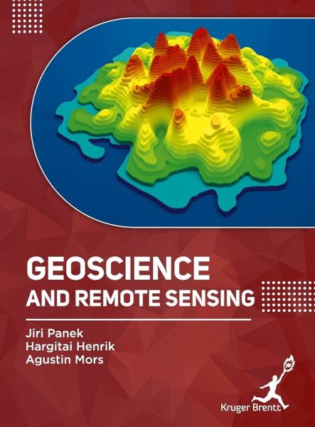
Geoscience and Remote Sensing
Versandkostenfrei!
Versandfertig in 1-2 Wochen
133,99 €
inkl. MwSt.

PAYBACK Punkte
67 °P sammeln!
Geoscience Fundamentals: Introduce core concepts of geoscience, including the study of Earth's structure, processes, and materials, such as rocks, minerals, and tectonic activity, which provide context for remote sensing applications. Remote Sensing Technologies: Explore various remote sensing technologies, including satellite imagery, aerial photography, and LiDAR (Light Detection and Ranging), used to collect and analyze Earth observation data. Data Acquisition and Processing: Discuss methods for acquiring remote sensing data and the subsequent processing steps, such as image correction, cal...
Geoscience Fundamentals: Introduce core concepts of geoscience, including the study of Earth's structure, processes, and materials, such as rocks, minerals, and tectonic activity, which provide context for remote sensing applications. Remote Sensing Technologies: Explore various remote sensing technologies, including satellite imagery, aerial photography, and LiDAR (Light Detection and Ranging), used to collect and analyze Earth observation data. Data Acquisition and Processing: Discuss methods for acquiring remote sensing data and the subsequent processing steps, such as image correction, calibration, and data fusion, to prepare data for analysis and interpretation. Geospatial Analysis: Examine techniques for analyzing geospatial data, including Geographic Information Systems (GIS), spatial modeling, and geostatistics, to derive meaningful insights from remote sensing data. Land Use and Land Cover Mapping: Explore the use of remote sensing for mapping and monitoring land use and land cover changes, including urbanization, deforestation, and agricultural expansion, to support environmental management and planning. Disaster Management and Response: Discuss applications of remote sensing in disaster management, including monitoring natural hazards (e.g., earthquakes, floods, wildfires), assessing damage, and supporting emergency response and recovery efforts.


