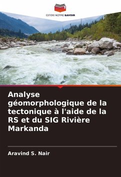
Geomorphic analysis of tectonics using RS and GIS Markanda River
Versandkostenfrei!
Versandfertig in 6-10 Tagen
24,99 €
inkl. MwSt.

PAYBACK Punkte
12 °P sammeln!
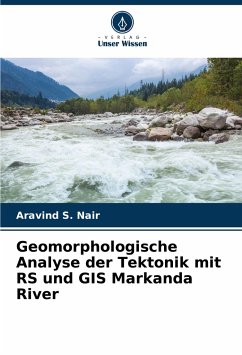
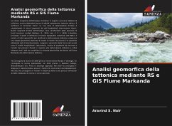
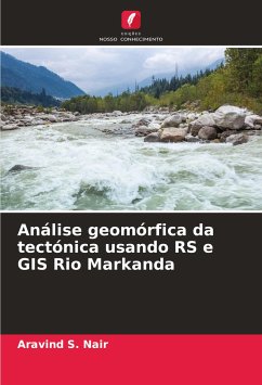
The Himalayan orogenic belt, formed as a result of collision tectonic processes, shows abundant evidence of neotectonic activity, active tectonics, and the occurrence of historical earthquakes. Its frontal deformation zone is characterized, in some segments, by intermountain longitudinal valleys (duns). Such frontal segments of the Himalaya are marked by the occurrence of multiple mountain fronts.(Kothyari, G., 2010; Lee, C. S L, 2010). The main objective is to carry out topographic analysis using DEM data and calculation of geomorphic indices to decipher tectonic deformation, to prepare a geo...
The Himalayan orogenic belt, formed as a result of collision tectonic processes, shows abundant evidence of neotectonic activity, active tectonics, and the occurrence of historical earthquakes. Its frontal deformation zone is characterized, in some segments, by intermountain longitudinal valleys (duns). Such frontal segments of the Himalaya are marked by the occurrence of multiple mountain fronts.(Kothyari, G., 2010; Lee, C. S L, 2010). The main objective is to carry out topographic analysis using DEM data and calculation of geomorphic indices to decipher tectonic deformation, to prepare a geomorphic map of the study area and analysis of surface processes using remote sensing data, Mapping of channel planform parameters such as longitudinal profile, hypsometry, stream gradient index and analysis of river processes in response to tectonic deformation and finally to integrate all the data to model geomorphic response of the Markanda River basin to tectonic deformation.


