Geographic Information Science and Mountain Geomorphology
Versandkostenfrei!
Versandfertig in 1-2 Wochen
153,99 €
inkl. MwSt.

PAYBACK Punkte
77 °P sammeln!
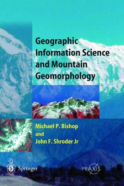
Geographic Information System (GIS) technology is increasingly being utilized by earth scientists to study mountains and surface processes. State-of-the-art geomorphological investigations of the dynamic nature of mountain systems require the integration of knowledge from geographic information science (GIScience) and geomorphology for modeling surface processes and topogprahic evolution. Similarly, issues of scale and parameterization of process models in geomorphology require new developments in data modeling and spatial/temporal GIS analysis. The editors have invited expert authors actively engaged in GIScience and mountain resaerch to address current issues in this discipline. A fundamental treatment of GIScience includes data modeling, geomorphology, remote sensing, artificial intelligence, spatial statistics and analysis, and scientific visualization. Various theoretical and practical issues are addressed with applilcations in geoecology, natural hazards, surface hydrology, snow and ice, climate forcing, tectonic geomorphology, and landscape evolution. Emphasis is on the integration of GIScience and geomorphology for understanding complex mountain systems.
From the reviews:
"Bishop and Schroder (both, Univ. of Nebraska at Omaha) have brought together an impressive group of practitioners in the relatively new application of geographic information science to mountain geomorphology. In doing so, they have produced valuable, first, overall coverage of a high-tech approach to mountain, three-dimensional research. More than 40 contributing authors discuss a wide range of related aspects . The book is well bound and well produced; each chapter provides an extensive source of references. The numerous line drawings are clearly reproduced, although the mediocre quality of photographic reproduction limits the value of air photographs and satellite images. As is characteristic of many edited collections, there is some variation in chapter quality. Some of the writing is so dense that it requires minute concentration--one chapter, for instance, has 14 pages of references from a total of 43 pages. Nevertheless, this is a vital compendium for a rapidly expanding field of research. Summing Up: Recommended. Upper-division undergraduates through professionals." (J. D. Ives, Choice, March 2005)
"Bishop and Schroder (both, Univ. of Nebraska at Omaha) have brought together an impressive group of practitioners in the relatively new application of geographic information science to mountain geomorphology. In doing so, they have produced valuable, first, overall coverage of a high-tech approach to mountain, three-dimensional research. More than 40 contributing authors discuss a wide range of related aspects . The book is well bound and well produced; each chapter provides an extensive source of references. The numerous line drawings are clearly reproduced, although the mediocre quality of photographic reproduction limits the value of air photographs and satellite images. As is characteristic of many edited collections, there is some variation in chapter quality. Some of the writing is so dense that it requires minute concentration--one chapter, for instance, has 14 pages of references from a total of 43 pages. Nevertheless, this is a vital compendium for a rapidly expanding field of research. Summing Up: Recommended. Upper-division undergraduates through professionals." (J. D. Ives, Choice, March 2005)


