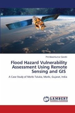
Flood Hazard Vulnerability Assessment Using Remote Sensing and GIS
A Case Study of Morbi Taluka, Morbi, Gujarat, India
Versandkostenfrei!
Versandfertig in 6-10 Tagen
60,99 €
inkl. MwSt.

PAYBACK Punkte
30 °P sammeln!
The book "FLOOD HAZARD VULNERABILITY ASSESSMENT USING REMOTE SENSING AND GIS: A CASE STUDY OF MORBI TALUKA, MORBI, GUJARAT, INDIA" is about the Flood hazard and vulnerability mapping and analysis of Morbi City and Morbi Taluka area of Morbi district in Gujarat state, India; once There was a terrible flood and great loss of life and property. This survey is conducted using RS (Remote Sensing) and GIS (Geographic Information System) tools. The book is divided into 12 chapters, in which necessity of disaster management; Natural disasters-Hazards and vulnerability are discussed. Then disasters at ...
The book "FLOOD HAZARD VULNERABILITY ASSESSMENT USING REMOTE SENSING AND GIS: A CASE STUDY OF MORBI TALUKA, MORBI, GUJARAT, INDIA" is about the Flood hazard and vulnerability mapping and analysis of Morbi City and Morbi Taluka area of Morbi district in Gujarat state, India; once There was a terrible flood and great loss of life and property. This survey is conducted using RS (Remote Sensing) and GIS (Geographic Information System) tools. The book is divided into 12 chapters, in which necessity of disaster management; Natural disasters-Hazards and vulnerability are discussed. Then disasters at world, India and Gujarat state level are described with proper data and maps with flood vulnerability parameters. Available spatial technologies are introduced in brief. Then, database design and development method was given. The flood vulnerability survey using Q-GIS and its outcomes were given with detailed analysis. At last, watershed management and flood simulations were presented.


