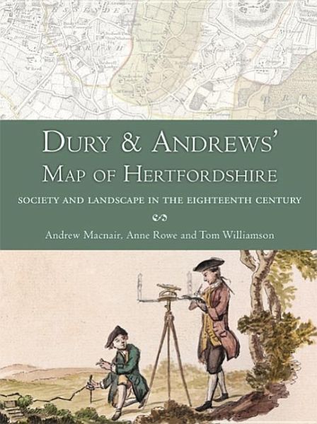
Dury and Andrews' Map of Hertfordshire
Society and Landscape in the Eighteenth Century

PAYBACK Punkte
27 °P sammeln!
Describes the creation of a new, digital version of an important county map that throws important new light on Hertfordshire's landscape and society in the middle decades of the eighteenth century when it was produced, and in more remote periods


