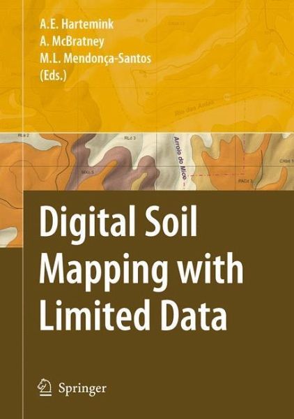
Digital Soil Mapping with Limited Data
Versandkostenfrei!
Versandfertig in 1-2 Wochen
115,99 €
inkl. MwSt.

PAYBACK Punkte
58 °P sammeln!
Signi?cant technological advances have been few and far between in the past approximately one hundred years of soil survey activities. Perhaps one of the most innovative techniques in the history of soil survey was the introduction of aerial photographs as base maps for ?eld mapping, which replaced the conventional base map laboriously prepared by planetable and alidade. Such a relatively simple idea by today's standards revolutionized soil surveys by vastly increasing the accuracy and ef?ciently. Yet, even this innovative approach did not gain universal acceptance immediately and was hampered...
Signi?cant technological advances have been few and far between in the past approximately one hundred years of soil survey activities. Perhaps one of the most innovative techniques in the history of soil survey was the introduction of aerial photographs as base maps for ?eld mapping, which replaced the conventional base map laboriously prepared by planetable and alidade. Such a relatively simple idea by today's standards revolutionized soil surveys by vastly increasing the accuracy and ef?ciently. Yet, even this innovative approach did not gain universal acceptance immediately and was hampered by a lack of aerial coverage of the world, funds to cover the costs, and in some cases a reluctance by some soil mappers and cartog- phers to change. Digital Soil Mapping (DSM), which is already being used and tested by groups of dedicated and innovative pedologists, is perhaps the next great advancement in delivering soil survey information. However, like many new technologies, it too has yet to gain universal acceptance and is hampered by ignorance on the part of some pedologists and other scientists. DSM is a spatial soil information system created by numerical models that - count for the spatial and temporal variations of soil properties based on soil - formation and related environmental variables (Lagacheric and McBratney, 2007).


