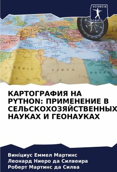
CARTOGRAPHY WITH PYTHON: APPLICATIONS IN AGRICULTURAL SCIENCES AND GEOSCIENCES
Versandkostenfrei!
Versandfertig in 6-10 Tagen
29,99 €
inkl. MwSt.

PAYBACK Punkte
15 °P sammeln!
This book aims to show the importance of controlling linear and angular distortions in the implementation of civil works projects, when it is prepared on cartographic bases whose coordinates come from cartographic projection systems. The problem is especially complex when we consider the works that use Mercator transverse coordinate systems, especially the Universal Transverse Mercator System (UTM) and using classical methods by means of total station location, in which there is the need to have a deep knowledge about Geodesy and Cartography due to the degrading influences of linear and angula...
This book aims to show the importance of controlling linear and angular distortions in the implementation of civil works projects, when it is prepared on cartographic bases whose coordinates come from cartographic projection systems. The problem is especially complex when we consider the works that use Mercator transverse coordinate systems, especially the Universal Transverse Mercator System (UTM) and using classical methods by means of total station location, in which there is the need to have a deep knowledge about Geodesy and Cartography due to the degrading influences of linear and angular deformations when there is the measurement on the local plane with data from projects on UTM bases. To illustrate the problem and suggest solutions, the study of the elements of a closed polygon was carried out, as well as its adjustment using the Least Squares Method (MMQ), sub method of Correlates or Condition Equations.


