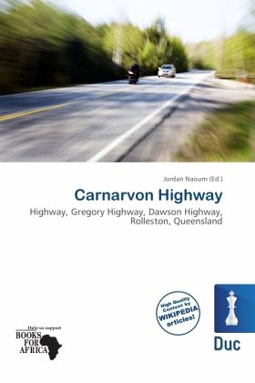
Carnarvon Highway
Highway, Gregory Highway, Dawson Highway, Rolleston, Queensland
Herausgegeben: Naoum, Jordan
Versandkostenfrei!
Versandfertig in 6-10 Tagen
23,99 €
inkl. MwSt.

PAYBACK Punkte
12 °P sammeln!
Please note that the content of this book primarily consists of articles available from Wikipedia or other free sources online. The Carnarvon Highway is a state highway of Queensland, linking Moree south of the NSW/QLD border, via the town of St George, eventually to the township of Rolleston. North of Roma it is known as the Carnarvon Developmental Road. National Route 46 runs from Moree to St George. The A7 then continues north from St George to Rolleston, which continues along the Dawson Highway and Gregory Highway to Emerald and Charters Towers. It is the main access road to the Carnarvon ...
Please note that the content of this book primarily consists of articles available from Wikipedia or other free sources online. The Carnarvon Highway is a state highway of Queensland, linking Moree south of the NSW/QLD border, via the town of St George, eventually to the township of Rolleston. North of Roma it is known as the Carnarvon Developmental Road. National Route 46 runs from Moree to St George. The A7 then continues north from St George to Rolleston, which continues along the Dawson Highway and Gregory Highway to Emerald and Charters Towers. It is the main access road to the Carnarvon National Park. National Route 55 (NR55) was a former north-south route through central northern New South Wales and central Queensland, connecting the Newell Highway at Gilgandra with Walgett, St George, Roma, Emerald and Charters Towers. The highway was a strategic route to take B-doubles and other large vehicles (which cannot use the Bruce Highway) to the Queensland ports north of Rockhampton.


