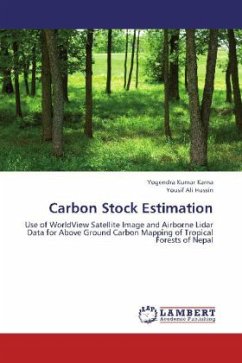
Carbon Stock Estimation
Use of WorldView Satellite Image and Airborne Lidar Data for Above Ground Carbon Mapping of Tropical Forests of Nepal
Versandkostenfrei!
Versandfertig in 6-10 Tagen
39,99 €
inkl. MwSt.

PAYBACK Punkte
20 °P sammeln!
Over the last two decades, global warming and climate change issues are hot topics of discussions among the people of developing as well as developed countries. Since tropical forests are valuable assets for carbon sink and sources both, demand for developing robust methods of carbon stock estimation is increasing day by day. In this context, this book provides the knowledge for estimation and mapping of above ground forest carbon using active and passive Remote Sensing and Geographic Information System (GIS).


