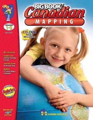
Canadian Grades 1 to 3 Mapping Big Book
Grades 1-3
Versandkostenfrei!
Versandfertig in über 4 Wochen
29,99 €
inkl. MwSt.

PAYBACK Punkte
15 °P sammeln!
Students will be introduced to mapping terms such as; country, border, ocean, province, territory, continent, hemisphere, latitude, longitude, symbols, legend, scale, and cardinal and intermediate directions. Everything you need to teach and strengthen mapping skills for Grades 1, 2 and 3! No Prep Worksheets teach every aspect of mapping. Students will learn about Canada, as they study its geography. For the teacher: * Helpful Teacher Tips & Forms * Teacher & Student Self-Assessment Rubric * Teacher Information * Glossary of Geographic Terms * Outline Provincial & Territorial Maps Bonus: Five ...
Students will be introduced to mapping terms such as; country, border, ocean, province, territory, continent, hemisphere, latitude, longitude, symbols, legend, scale, and cardinal and intermediate directions. Everything you need to teach and strengthen mapping skills for Grades 1, 2 and 3! No Prep Worksheets teach every aspect of mapping. Students will learn about Canada, as they study its geography. For the teacher: * Helpful Teacher Tips & Forms * Teacher & Student Self-Assessment Rubric * Teacher Information * Glossary of Geographic Terms * Outline Provincial & Territorial Maps Bonus: Five Full-Colour Maps! (Outline Map of Canada, two Political Maps of Canada, Outline map of the World and North America) GRADES 1-2 * CANADA'S SHAPE AND LOCATION * CANADA MAPS AND MAP FEATURES * MAP VOCABULARY * CANADIAN COMMUNITIES GRADE 3 * CANADA'S SHAPE AND LOCATION * CANADA MAPS AND MAP FEATURES * CANADA'S PROVINCES AND TERRITORIES * MAJOR LANDFORMS AND BODIES OF WATER IN CANADA * CANADIAN COMMUNITIES - URBAN AND RURAL 144 pages including an answer key.


