Applications of Remote Sensing Data in Mapping of Forest Growing Stock and Biomass
Versandkostenfrei!
Versandfertig in 1-2 Wochen
83,99 €
inkl. MwSt.

PAYBACK Punkte
42 °P sammeln!
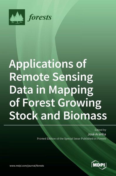
This Special Issue (SI), entitled "Applications of Remote Sensing Data in Mapping of Forest Growing Stock and Biomass", resulted from 13 peer-reviewed papers dedicated to Forestry and Biomass mapping, characterization and accounting. The papers' authors presented improvements in Remote Sensing processing techniques on satellite images, drone-acquired images and LiDAR images, both aerial and terrestrial. Regarding the images' classification models, all authors presented supervised methods, such as Random Forest, complemented by GIS routines and biophysical variables measured on the field, which...
This Special Issue (SI), entitled "Applications of Remote Sensing Data in Mapping of Forest Growing Stock and Biomass", resulted from 13 peer-reviewed papers dedicated to Forestry and Biomass mapping, characterization and accounting. The papers' authors presented improvements in Remote Sensing processing techniques on satellite images, drone-acquired images and LiDAR images, both aerial and terrestrial. Regarding the images' classification models, all authors presented supervised methods, such as Random Forest, complemented by GIS routines and biophysical variables measured on the field, which were properly georeferenced. The achieved results enable the statement that remote imagery could be successfully used as a data source for regression analysis and formulation and, in this way, used in forestry actions such as canopy structure analysis and mapping, or to estimate biomass. This collection of papers, presented in the form of a book, brings together 13 articles covering various forest issues and issues in forest biomass calculation, constituting an important work manual for those who use mixed GIS and RS techniques.


