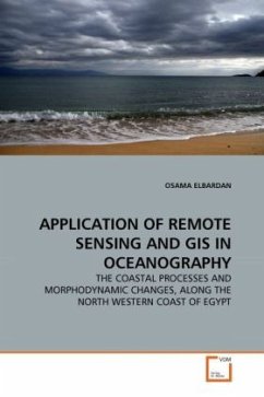
APPLICATION OF REMOTE SENSING AND GIS IN OCEANOGRAPHY
THE COASTAL PROCESSES AND MORPHODYNAMIC CHANGES, ALONG THE NORTH WESTERN COAST OF EGYPT
Versandkostenfrei!
Versandfertig in 6-10 Tagen
52,99 €
inkl. MwSt.

PAYBACK Punkte
26 °P sammeln!
Th The goal of th present work is to study the coastal processes and application of remote sensing for the assessment of the likely impacts of the coastal development in the study area. The objectives are to study the geology, geomorphology as well as change detection in the shoreline and bottom configurations, dynamics of bottom sediment transport, characteristics of the hydrodynamic features throughout the coastal zone and the assessment of the likely impacts of the coastal development at the study area. The study will provide support to the environmental decision process for the proposed de...
Th The goal of th present work is to study the coastal processes and application of remote sensing for the assessment of the likely impacts of the coastal development in the study area. The objectives are to study the geology, geomorphology as well as change detection in the shoreline and bottom configurations, dynamics of bottom sediment transport, characteristics of the hydrodynamic features throughout the coastal zone and the assessment of the likely impacts of the coastal development at the study area. The study will provide support to the environmental decision process for the proposed development activities in the study area.


