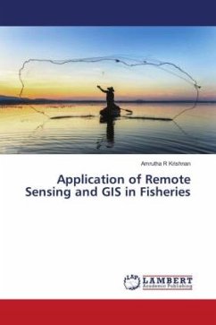
Application of Remote Sensing and GIS in Fisheries
Versandkostenfrei!
Versandfertig in 6-10 Tagen
29,99 €
inkl. MwSt.

PAYBACK Punkte
15 °P sammeln!
The World's highest producer of fish and fishery products from capture fisheries are identified as major fishing areas by FAO. The countries within the Southeast Asian region considered as a major producer of capture fisheries. GIS is within the sort of hardware, software, and data that permits any trained staff to update, manipulate, analyze, and display geographically the referred information (Rahel, 2004). Since GIS integrates hardware, software, and data for capturing, managing, analyzing, and displaying all varieties of geographically referenced information, it can provide the unlimited a...
The World's highest producer of fish and fishery products from capture fisheries are identified as major fishing areas by FAO. The countries within the Southeast Asian region considered as a major producer of capture fisheries. GIS is within the sort of hardware, software, and data that permits any trained staff to update, manipulate, analyze, and display geographically the referred information (Rahel, 2004). Since GIS integrates hardware, software, and data for capturing, managing, analyzing, and displaying all varieties of geographically referenced information, it can provide the unlimited amount of data needed in research (Foote and Lynch, 2015). In fact, GIS has many applications associated with planning, management, transport/logistics, insurance, telecommunications, and business (Maliene et al., 2011). Foote and Lynch (2015) added that the various innovations, like GIS could boost the region's efforts to enhance fisheries development and management as it links variety of technologies, and thus it emerges as a strong technology.


