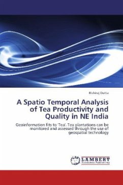
A Spatio Temporal Analysis of Tea Productivity and Quality in NE India
Geoinformation fits to 'Tea'. Tea plantations can be monitored and assessed through the use of geospatial technology
Versandkostenfrei!
Versandfertig in 6-10 Tagen
45,99 €
inkl. MwSt.

PAYBACK Punkte
23 °P sammeln!
The study focused on tea plantations in Northeast India. By integrating G × E × M factors, wavelets for monitoring replantation patterns, remote sensing for quality assessment and yield simulation through CUPPA Tea model, the study tried to identify different factors affecting tea yield and its causes for decline. The study shows that statistical methods and remote sensing can be used as efficient tools for quantifying and monitoring tea replantation and to study tea quality. Such methods and tools provide the means for the future monitoring of tea plantations. Remote sensing further has the...
The study focused on tea plantations in Northeast India. By integrating G × E × M factors, wavelets for monitoring replantation patterns, remote sensing for quality assessment and yield simulation through CUPPA Tea model, the study tried to identify different factors affecting tea yield and its causes for decline. The study shows that statistical methods and remote sensing can be used as efficient tools for quantifying and monitoring tea replantation and to study tea quality. Such methods and tools provide the means for the future monitoring of tea plantations. Remote sensing further has the potential to contribute to reviving the tea sector. Remote sensing tools such as wavelets could delineate site specific management zones to get a better understanding about the soil and vegetation status within the section thereby giving indication about the sections to be replanted on time to maintain yield. This might improve the productivity and help to optimize plantation input costs. Such issues would go a long way to arrive at a complete revival of the tea sector in Northeast India.


