
Beschreibung
Produktdetails
Einband
Taschenbuch
Erscheinungsdatum
05.06.1996
Verlag
Taylor & FrancisSeitenzahl
352
Maße (L/B/H)
23,4/15,6/1,9 cm
Gewicht
535 g
Auflage
2. Auflage
Sprache
Englisch
ISBN
978-0-582-23927-2
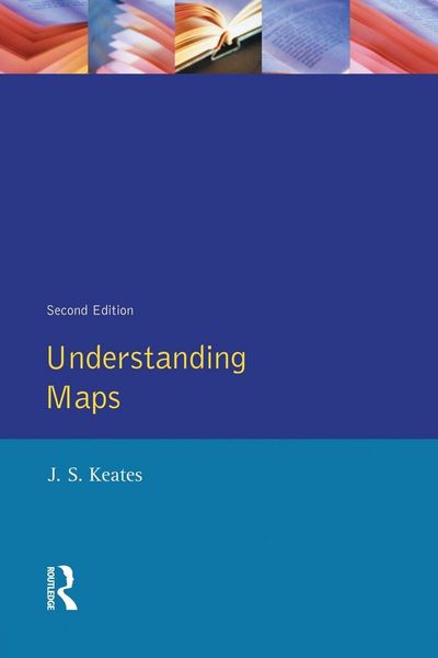
Addresses the fundamental principles of visual perception and map symbolism and critically examines the assumptions behind the theories of psychophysical testing and cartographic communication. This revised and expanded edition includes new sections on the relationship between cartography and art, and the distinction between knowledge and skill.
Noch keine Bewertungen vorhanden
Verfassen Sie die erste Bewertung zu diesem Artikel
Helfen Sie anderen Kundinnen und Kunden durch Ihre Meinung.
Kurze Frage zu unserer Seite
Vielen Dank für dein Feedback
Wir nutzen dein Feedback, um unsere Produktseiten zu verbessern. Bitte habe Verständnis, dass wir dir keine Rückmeldung geben können. Falls du Kontakt mit uns aufnehmen möchtest, kannst du dich aber gerne an unseren Kund*innenservice wenden.
zum Kundenservice