Nicht lieferbar
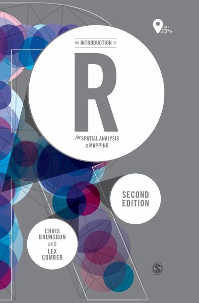
Chris Brunsdon (National University of Ireland, Maynooth, Ireland)Lex Comber (UK University of Leeds)
Gebundenes Buch
An Introduction to R for Spatial Analysis and Mapping
Versandkostenfrei!
Nicht lieferbar


This is a new edition of the accessible and student-friendly 'how to' for anyone using R for the first time, for use in spatial statistical analysis, geocomputation and digital mapping.
Chris Brunsdon is Professor of Geocomputation and Director of the National Centre for Geocomputation at the National University of Ireland, Maynooth, having worked previously in the Universities of Newcastle, Glamorgan, Leicester and Liverpool, variously in departments focusing on both geography and computing. He has interests that span both of these disciplines, including spatial statistics, geographical information science, and exploratory spatial data analysis, and in particular the application of these ideas to crime pattern analysis, the modelling of house prices, medical and health geography and the analysis of land use data. He was one of the originators of the technique of geographically weighted regression (GWR). He has extensive experience of programming in R, going back to the late 1990s, and has developed a number of R packages which are currently available on CRAN, the Comprehensive R Archive Network. He is an advocate of free and open source software, and in particular the use of reproducible research methods, and has contributed to a large number of workshops on the use of R and of GWR in a number of countries, including the UK, Ireland, Japan, Canada, the USA, the Czech Republic and Australia. When not involved in academic work he enjoys running, collecting clocks and watches, and cooking - the last of these probably cancelling out the benefits of the first.
Produktdetails
- Spatial Analytics and GIS
- Verlag: Sage Publications Ltd
- 2 Revised edition
- Seitenzahl: 336
- Erscheinungstermin: 10. Dezember 2018
- Englisch
- Abmessung: 250mm x 175mm x 23mm
- Gewicht: 648g
- ISBN-13: 9781526428509
- ISBN-10: 1526428504
- Artikelnr.: 53539211
Herstellerkennzeichnung
Libri GmbH
Europaallee 1
36244 Bad Hersfeld
gpsr@libri.de
Für dieses Produkt wurde noch keine Bewertung abgegeben. Wir würden uns sehr freuen, wenn du die erste Bewertung schreibst!
Eine Bewertung schreiben
Eine Bewertung schreiben
Andere Kunden interessierten sich für


