32,99 €
inkl. MwSt.
Versandkostenfrei*
Versandfertig in 6-10 Tagen
payback
16 °P sammeln
  • Broschiertes Buch

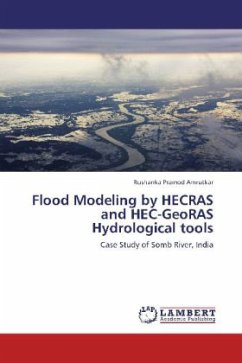
This research focuses on Somb River flowing in Haryana as well as Himachal Pradesh, India which is the sub-basin of River Yamuna. It aims at preparation of the flood extent maps revealing the amount of landuse getting affected due to flooding in which the hydrological modeling softwares HEC RAS 4.1 and HEC-GeoRAS 4.2.93 respectively has been used which are open source along with the ArcGIS 9.3 and Erdas Imagine 9.2 softwares which are proprietary in nature. The research revealed that most of the area lying close to the Somb River flood-plain are under severe threat to flash floods for each…mehr

Produktbeschreibung
This research focuses on Somb River flowing in Haryana as well as Himachal Pradesh, India which is the sub-basin of River Yamuna. It aims at preparation of the flood extent maps revealing the amount of landuse getting affected due to flooding in which the hydrological modeling softwares HEC RAS 4.1 and HEC-GeoRAS 4.2.93 respectively has been used which are open source along with the ArcGIS 9.3 and Erdas Imagine 9.2 softwares which are proprietary in nature. The research revealed that most of the area lying close to the Somb River flood-plain are under severe threat to flash floods for each return period i.e 5 year, 10 year, 25 year, 50 year and 100 year flood respectively.
Autorenporträt
M.Sc in Geo-informatics from University of Pune, India with special interest on Remote Sensing applications. Currently carrying out research on Microwave Remote Sensing applications in forest inventory.